Geography Teaching Resources for 4th Grade
- Free Plan
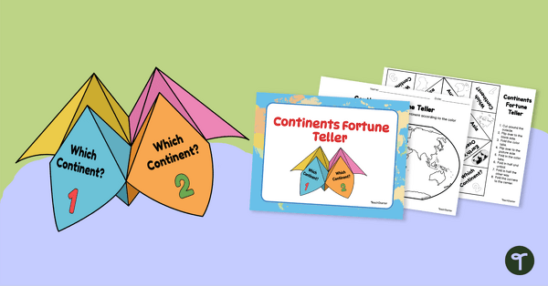
7 Continents Fortune Teller
Use this Continents of the World fortune teller and summary sheet as a fun geography review activity.
- Free Plan
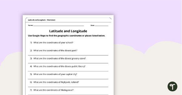
Latitude and Longitude Worksheet
Use this free latitude and longitude worksheet along with Google Maps to teach your students about longitude and latitude.
- Free Plan
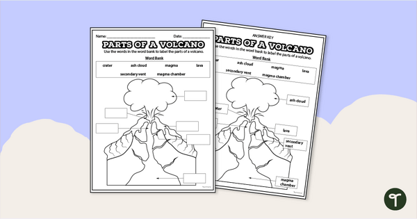
Diagram of a Volcano - Labeling Worksheet
Label the diagram of a volcano with a printable volcano worksheet.
- Free Plan

Free U.S. Mountains, Rivers, and Land Features Worksheet
Apply knowledge of the major U.S. land features, mountains, and rivers with a map labeling worksheet.
- Plus Plan
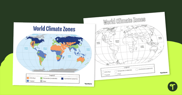
Climate Zone Map — Printable Classroom Resource
Print a climate zone map for the classroom to support lessons about the 6 climate types.
- Plus Plan

Using Coordinate Grids-Map Skills Worksheets
A set of 13 worksheets to help teach map skills to students.
- Free Plan

Landforms of the World - Brochure Template
Add to your bank of landform project ideas with a free Landform Research Brochure.
- Free Plan
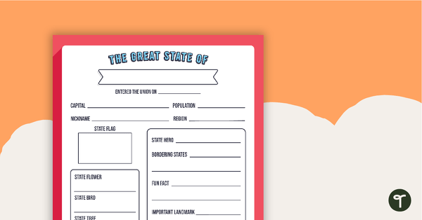
The Great State Of... State Research Template
A free template for students to identify important aspects of their state.
- Plus Plan
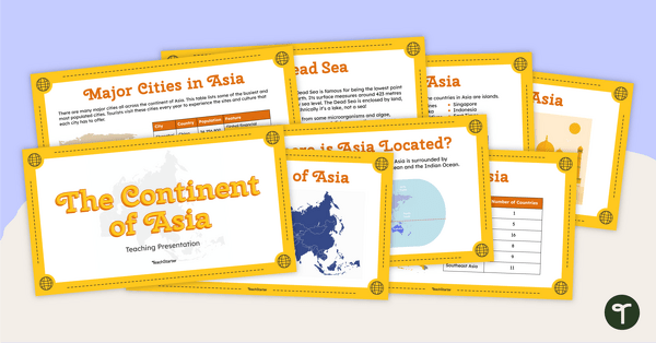
The Continent of Asia - Teaching Presentation
Familiarize your students with the physical and human geography of Asia with this comprehensive instructional slide deck.
- Plus Plan
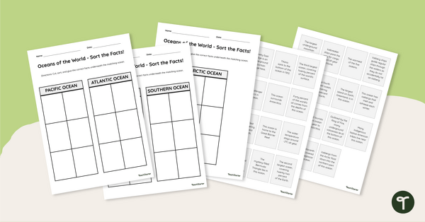
Oceans of the World - Cut and Paste Worksheet
Explore some key facts about the world’s five oceans with this cut-and-paste worksheet.
- Plus Plan
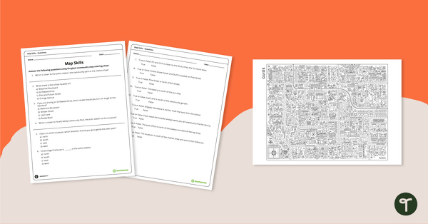
Community Giant Coloring Page and Map Skills Worksheet
An activity to practice map skills using a giant map of a community.
- Free Plan
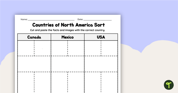
Countries of North America Sort
Practice identifying North American countries' locations, flags, and symbols with a quick and easy sorting worksheet.
- Plus Plan
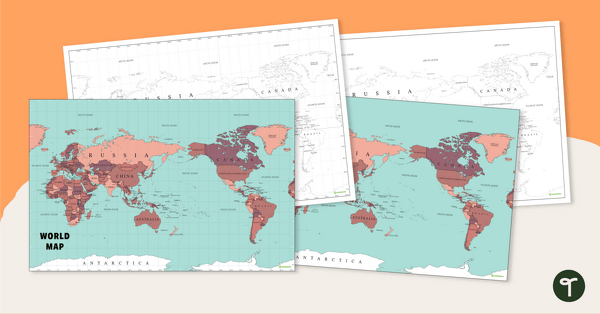
World Map - Continents, Oceans, and Countries
Teach your students about the continents, oceans, and countries of the world with this highly detailed map.
- Plus Plan
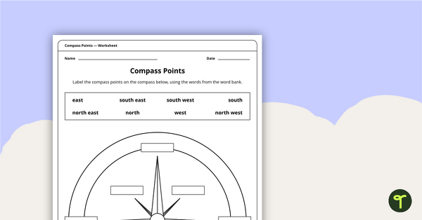
Compass Points Worksheet
A worksheet showing the 8 major compass points.
- Plus Plan
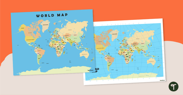
World Map Poster
Teach your students about the continents and countries of the world with this detailed map.
- Plus Plan
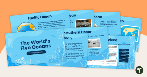
The World's Five Oceans - Instructional Slide Deck
Explore the world’s five oceans with this comprehensive slide deck.
- Plus Plan

World Biomes Map
Locate and explore the different biomes of the world with this engaging classroom poster.
- Plus Plan

Printable Map of Native American Tribes of North America
Print and use a detailed map showing the regions of native American tribes.
- Plus Plan

13 Colonies Map — Labeled
Build understanding of Colonial America with a labeled 13 colonies map for the classroom.
- Plus Plan
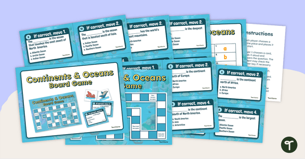
Continents and Oceans Board Game
Make world geography fun by using our Continents and Oceans Board Game!
- Plus Plan

Google Interactive - Regions of the United States
Practice identifying states in the five regions of the United States with a Google Interactive activity.
- Plus Plan
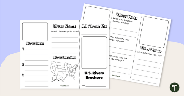
Major U.S. Rivers Brochure Template
Research the major rivers in the United States with a brochure project.
- Free Plan
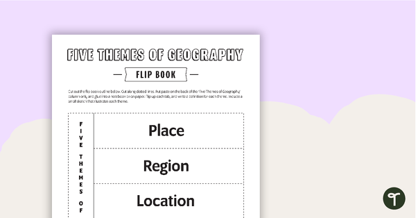
Geography Flip Book
A flip book to use when learning about geography.
- Plus Plan
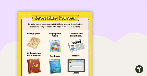
Secondary Sources Poster (Alternate Version)
A poster providing the definition and some examples of secondary sources.
- Plus Plan
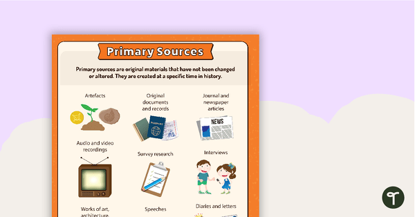
Primary Sources - Firsthand Account Anchor Chart
Teach your students about primary sources and firsthand accounts with a printable primary source document anchor chart.
- Plus Plan
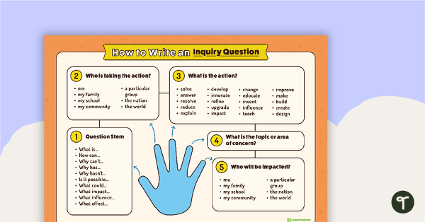
How to Write an Inquiry Question Poster
A poster demonstrating the steps involved in formulating a question for inquiry-based learning.
- Plus Plan
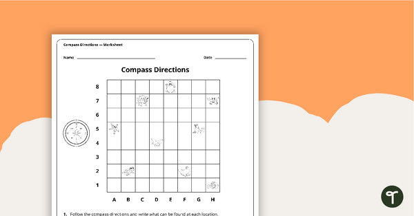
Compass Directions Worksheet
A worksheet to use when exploring grids, grid references and direction.
- Plus Plan
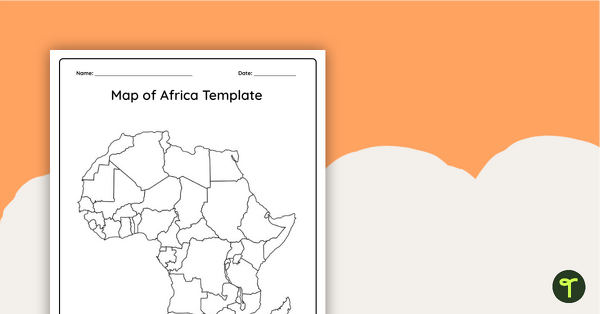
Blank Map of Africa - Template
Record and represent data about the location of significant places with this printable blank map of the continent of Africa.
- Plus Plan
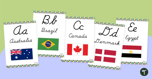
Flags of the World - Classroom Alphabet Line
Display the alphabet in print or cursive with a unique Flags of the World Alphabet Line.
- Plus Plan

Map of Washington With Counties and Capital
Download the best printable map of Washington state, including capital city and county lines, for your geography lessons.
- Plus Plan
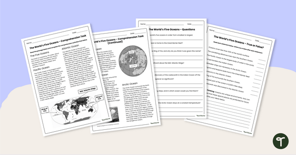
The World's Oceans - Comprehension Worksheet
Explore the world’s five oceans with this detailed comprehension passage and related questions.
- Plus Plan

Blank Map of North America
Grab a blank map of North America created by teachers for your lesson plans. Available in Google Slides or as a printable PDF, it's packed with possibility!