
Practice identifying states in the five regions of the United States with a Google Interactive activity.
Activities to Teach Regions of the United States
Labeling paper maps with states and regions of the United States is so last year. We’ve put together the perfect digital resource to help your students practice identifying the regions of the United States and the states found within those regions.
With this Google Interactive activity, students are tasked to
- Identify types of maps and common vocabulary related to continents, countries, and regions.
- Label the five regions of the United States.
- Identify the states located in each of the regions of the United States (Northwest, Midwest, Southeast, Northeast, and Southwest)
Through this activity, students will click, drag, and drop labels to match vocabulary terms, identify the regions of the United States, and label the fifty United States of America.
How to Prepare This Digital Geography Resource
Use the download button to download the Google Slides resource. Assign the activity in Google Classroom. Students will complete the activity in Edit Mode, not Presentation Mode.
Additionally, this activity can become a whole-group instructional tool by projecting it onto a screen and working through it as a class by having students record their answers in their notebooks.
Before You Download
Get more handy interactive activities here!
Don’t stop there! We’ve got more geography activities we know your students will love:
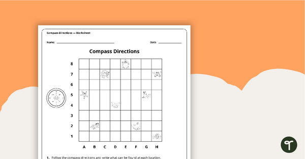
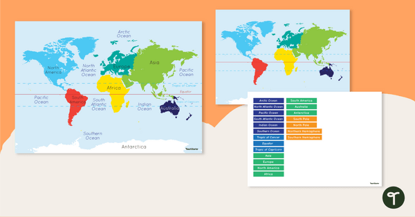
Explore the features of maps using this set of colorful classroom posters. A worksheet to use when exploring grids, grid references and direction. Discover and label the world's continents and oceans with this blank map of the world.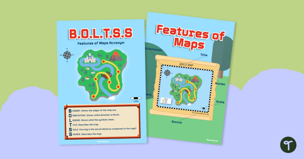
teaching resource
Features of Maps Posters - B.O.L.T.S.S
teaching resource
Compass Directions Worksheet
teaching resource
Map of the World - Labeling Activity


0 Comments
Write a review to help other teachers and parents like yourself. If you'd like to request a change to this resource, or report an error, select the corresponding tab above.