Maps Teaching Resources
- Plus Plan
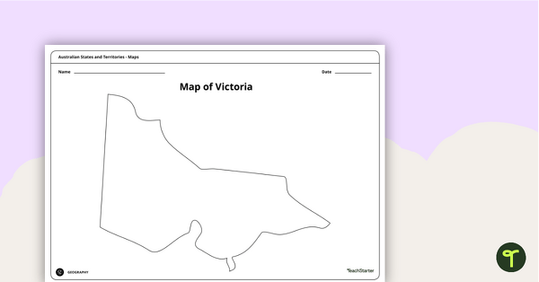
Blank Map of Victoria - Template
Record and represent data about the location of significant places with this printable blank map of the Australian state of Victoria.
- Free Plan
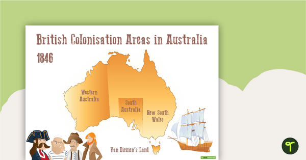
British Colonisation Areas in Australia - 1846 Map and Worksheet
A map to display in the classroom when learning about areas in Australian that were colonised by the British in 1846.
- Plus Plan
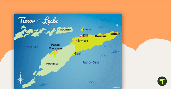
Map of Timor-Leste
Familiarise your students with Australia’s neighbouring countries with this detailed map of Timor-Leste.
- Plus Plan
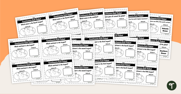
Continents and Oceans - Exit Tickets
Determine your students' mastery of Geography concepts with a set of twenty continents and oceans exit tickets.
- Plus Plan
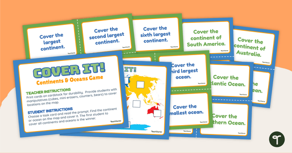
Continents and Oceans - Cover It! Game
Locate the continents and oceans of the world on a map with this engaging, hands-on Geography game.
- Plus Plan
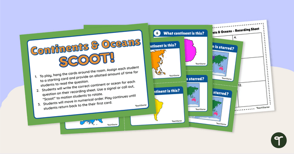
Continents and Oceans - SCOOT! Task Cards
Learn to locate and identify the continents and oceans on Earth with a game of SCOOT!
- Plus Plan
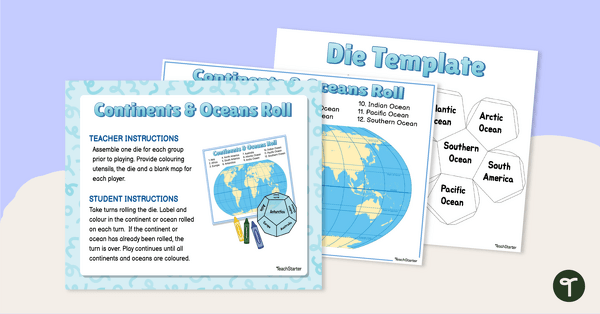
Continents and Oceans - Roll and Colour Game
Learn to identify the continents and oceans of the world with an engaging partner game.
- Free Plan
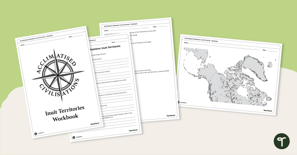
Acclimatised Civilisations: Inuit Territories – Workbook
Learn about the physical and human geography of the Inuit Territories with this inquiry-based mapping activity.
- Plus Plan
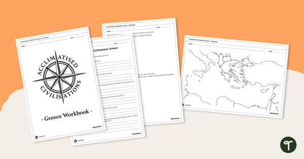
Acclimatised Civilisations: Greece – Workbook
Learn about the physical and human geography of Greece and the Mediterranean region with this inquiry-based mapping activity.
- Plus Plan
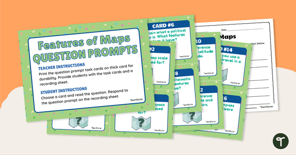
Features of Maps - Question Prompt Task Cards
Assess your students' understanding of the features of maps with this set of 16 question prompt task cards.
- Plus Plan
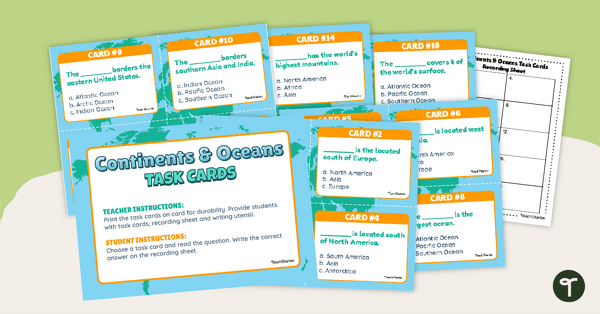
Continents and Oceans Task Cards
Practise identifying and describing the 7 continents and 5 oceans with a set of task cards.
- Plus Plan
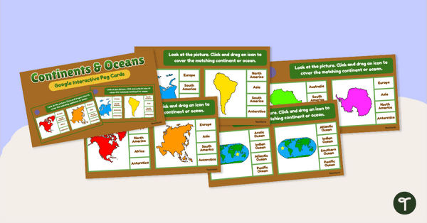
Continents and Oceans - Interactive Peg Cards
Turn world geography into a digital learning experience with this interactive activity.
- Plus Plan
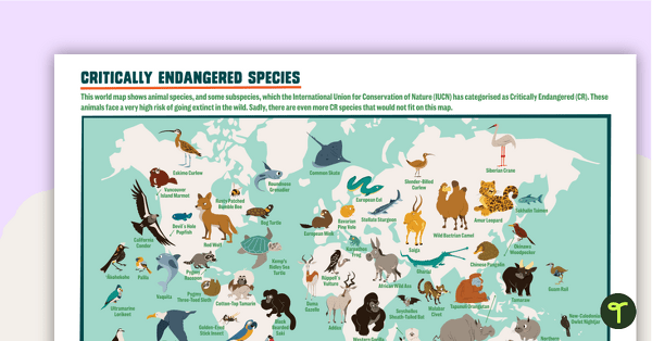
Critically Endangered Species Map – Poster
A poster of the world map featuring 64 species and subspecies that are on the critically endangered list.
- Plus Plan
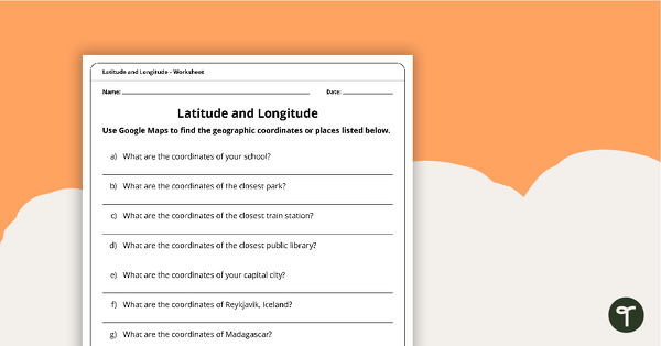
Latitude and Longitude Worksheet
Use this worksheet along with Google Maps to teach your students about longitude and latitude.
- Plus Plan
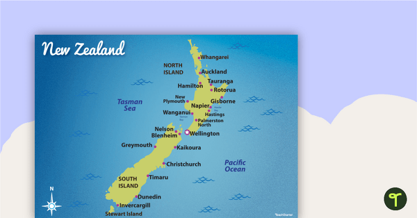
Map of New Zealand
Familiarise your students with Australia’s neighbouring countries with this detailed map of New Zealand.
- Plus Plan
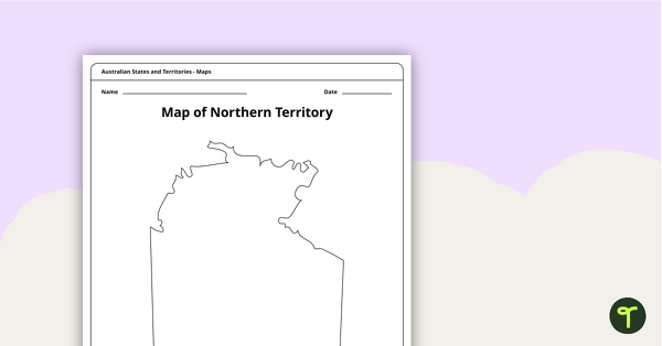
Map of the Northern Territory Template
Record and represent data about the location of significant places with this printable blank map of the Northern Territory.
- Plus Plan
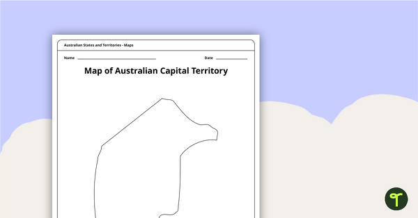
Black Map of the Australian Capital Territory - Template
Record and represent data about the location of significant places with this printable blank map of the Australian Capital Territory.
- Plus Plan
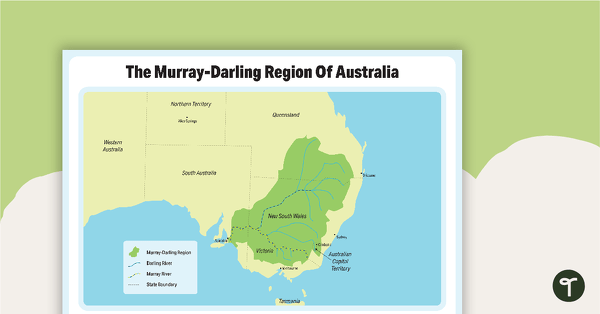
The Murray-Darling Region Of Australia Poster
A poster to show the Murray-Darling Region of Australia.
- Plus Plan
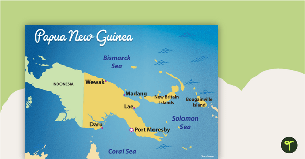
Map of Papua New Guinea
Familiarise your students with Australia’s neighbouring countries with this detailed map of Papua New Guinea.
- Free Plan
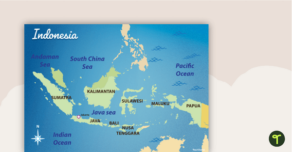
Map of Indonesia
Familiarise your students with Australia’s neighbouring countries with this detailed map of Indonesia.
- Plus Plan
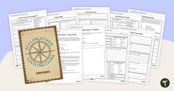
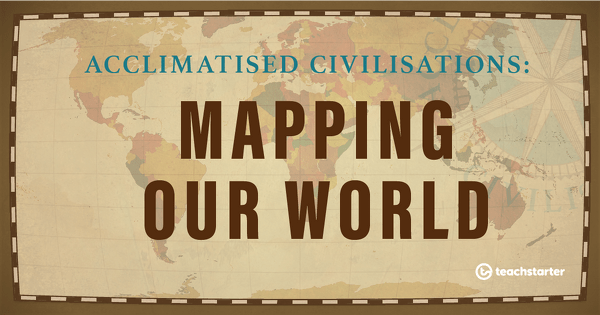
Acclimatised Civilisations – Inquiry Project
Research a civilisation and how it adapted to its environment and landscape through a student-led inquiry task.
- Plus Plan
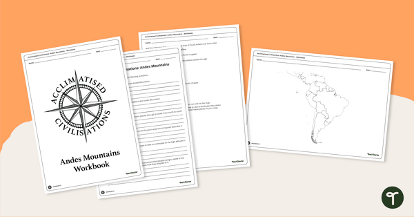
Acclimatised Civilisations: Andes Mountains – Workbook
Learn about the physical and human geography of the Andes mountains in South America with this inquiry-based mapping activity.
- Plus Plan
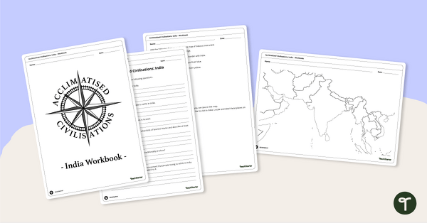
Acclimatised Civilisations: India – Workbook
Learn about the physical and human geography of the continent of India with this inquiry-based mapping activity.
- Plus Plan
Latitude and Longitude Banners
Latitude and longitude banners to display in the classroom when studying geography.
- Plus Plan
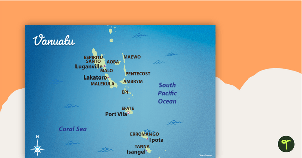
Map of Vanuatu
Familiarise your students with Australia’s neighbouring countries with this detailed map of Vanuatu.
- Plus Plan
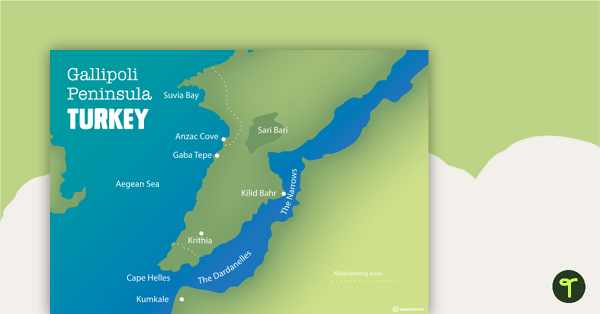
World War One Maps
A set of maps to use in the classroom when learning about WW1.
- Plus Plan
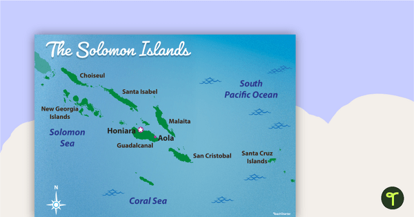
Map of The Solomon Islands
Familiarise your students with Australia’s neighbouring countries with this detailed map of The Solomon Islands.
- Plus Plan
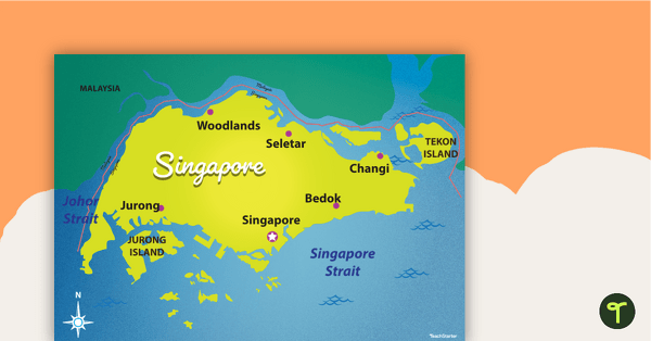
Map of Singapore
Familiarise your students with Australia’s neighbouring countries with this detailed map of Singapore.
- Plus Plan
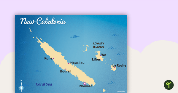
Map of New Caledonia
Familiarise your students with Australia’s neighbouring countries with this detailed map ofNew Calendonia.
- Plus Plan
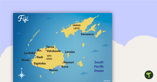
Map of Fiji
Familiarise your students with Australia’s neighbouring countries with this detailed map of Fiji.
- Plus Plan

Australian States and Territories
A 60 minute lesson in which students will investigate how Australia can be represented on a map as states and territories.
- Plus Plan
Mapping Our World
A 60-minute lesson in which students revise locating and labelling the main features on the world map.