Geography Teaching Resources for Year 4
- Plus Plan
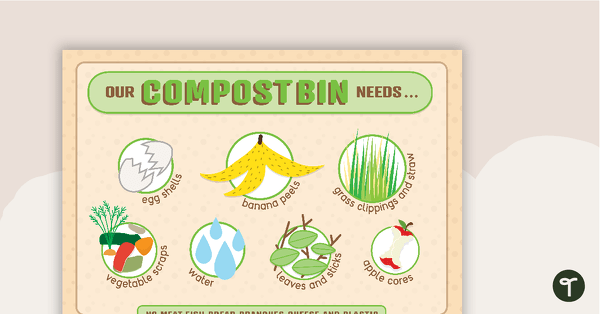
'Our Compost Bin Needs...' Poster
Use this poster when your class is learning about composting.
- Plus Plan
Natural Disaster Word Wall Vocabulary
Sixty-nine natural disaster related vocabulary cards for a word wall.
- Plus Plan
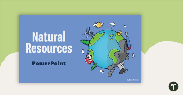
Introduction to Natural Resources PowerPoint
A teaching presentation that explores what natural resources are and where they come from.
- Plus Plan
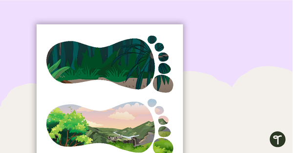
Sustainability Footprints Word Wall
6 different footprint shaped word wall cards to be used as labels or for vocabulary.
- Plus Plan
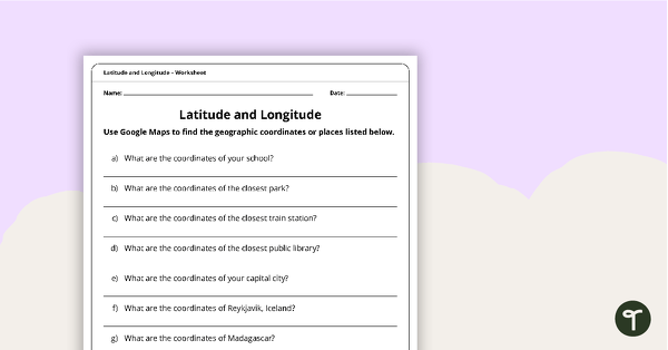
Latitude and Longitude Worksheet
Use this worksheet along with Google Maps to teach your students about longitude and latitude.
- Plus Plan
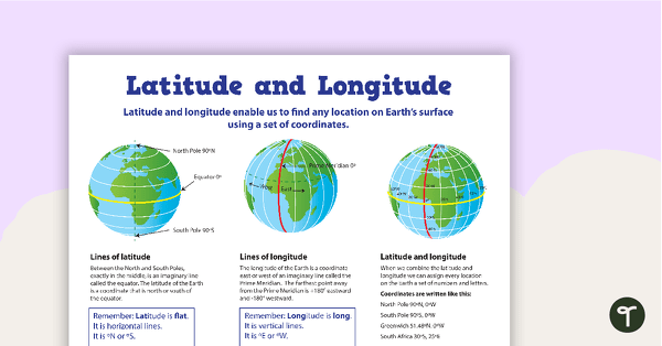
Latitude and Longitude Poster
Use this educational poster when students are learning about geographical coordinates, latitude and longitude.
- Plus Plan
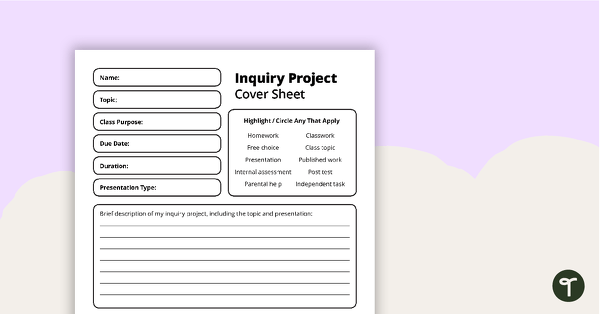
Inquiry Project - Template
A diverse template to help students craft inquiry questions to produce different types of projects.
- Plus Plan
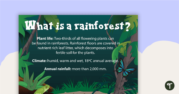
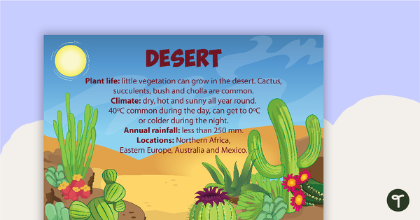
What is a Rainforest? Poster
A poster with information about the plant life, climate and annual rainfall that characterise a rainforest environment.
- Plus Plan
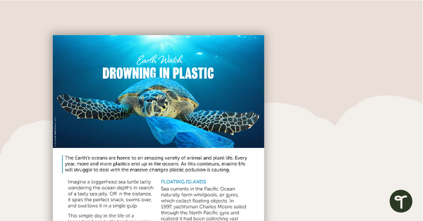
Earth Watch – Drowning in Plastic Worksheet
A comprehension worksheet for a magazine article about plastic pollution in our oceans.
- Plus Plan
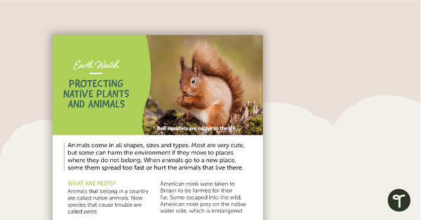
Earth Watch: Protecting Native Plants and Animals – Comprehension Worksheet
A comprehension worksheet for an article about ways to keep our native animals and plants safe.
- Plus Plan
Terrestrial Ecosystem Posters
Six educational posters describing types of Terrestrial Ecosystems.
- Plus Plan
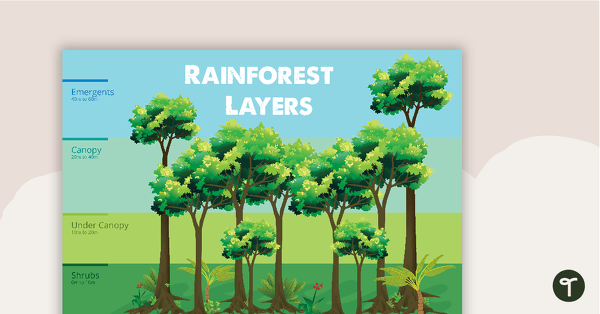
Rainforest Layers - Poster
A poster that explains the layers of a rainforest.
- Plus Plan
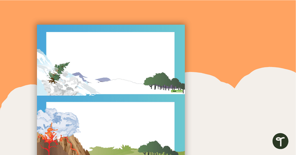
Impacts of Floods - Title Poster
A poster to use on your natural disasters display board.
- Plus Plan
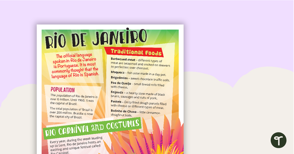
Rio de Janeiro - Comprehension Task
A comprehension task that encourages students to apply a range of comprehension skills when finding out interesting fun facts about Rio.
- Plus Plan
Acclimatised Civilisations – Word Wall
Content-specific vocabulary cards for a word wall based on the Acclimatised Civilisations Geography resources.
- Plus Plan
Acclimatised Civilisations: Inuit Territories – Workbook
A workbook for students to use their investigation and mapping skills, while learning about civilisations in Inuit Territories.
- Plus Plan
Acclimatised Civilisations: Egypt – Workbook
A workbook for students to use their investigation and mapping skills, while learning about civilisations in Egypt.
- Plus Plan
Acclimatised Civilisations: Australia – Workbook
A workbook for students to use their investigation and mapping skills, while learning about civilisations in Australia.
- Plus Plan

Acclimatised Civilisations: India – Workbook
A workbook for students to use their investigation and mapping skills, while learning about civilisations in India.
- Plus Plan
Acclimatised Civilisations: Greece – Workbook
A workbook for students to use their investigation and mapping skills, while learning about civilisations in Greece.
- Plus Plan
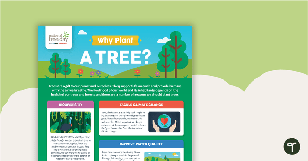
National Tree Day – Why Plant a Tree? Infographic
An infographic poster about the importance of trees in celebration of National Tree Day.
- Plus Plan
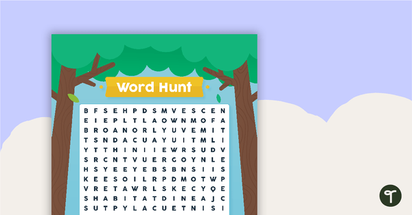
National Tree Day – Word Hunt
A National Tree Day word search to use in the classroom.
- Plus Plan
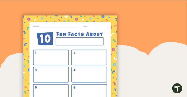
'10 Fun Facts' Template
A template for younger students to use when conducting and recording research.
- Plus Plan
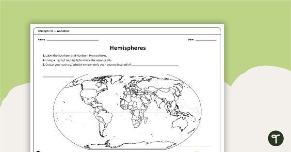
Hemispheres Worksheet
A worksheet highlighting the hemisphere, equator and country locations.
- Plus Plan
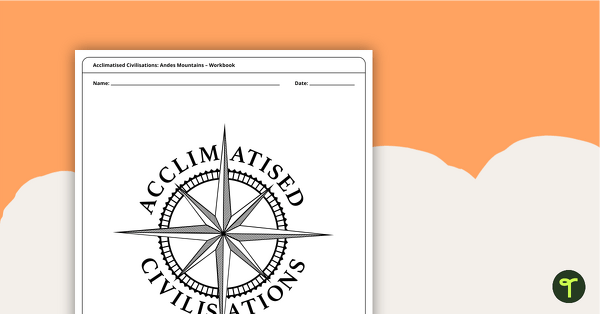
Acclimatised Civilisations: Andes Mountains – Workbook
A workbook for students to use their investigation and mapping skills, while learning about civilisations in the Andes Mountains.
- Plus Plan
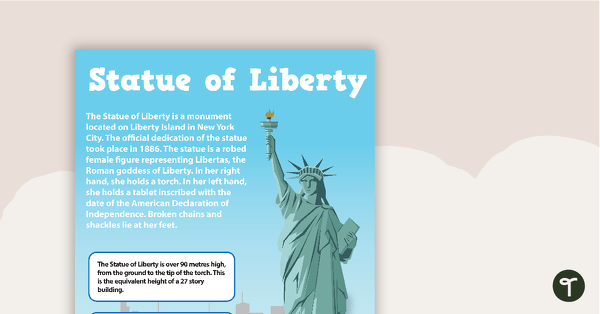
Seven US Landmarks Posters
A set of 7 posters highlighting some of the United States most famous Landmarks.
- Plus Plan
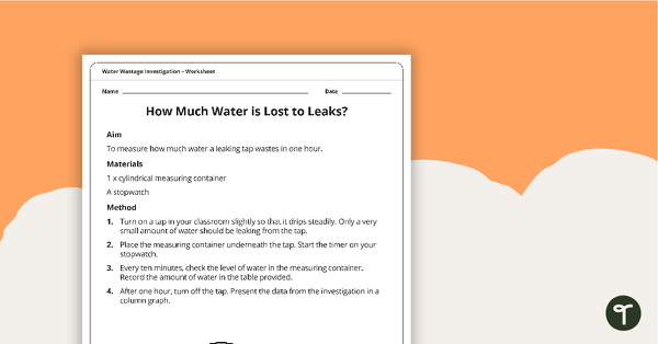
Water Wastage Investigation - How Much Water is Lost to Leaks?
A practical investigation related to sustainable resource use.
- Plus Plan
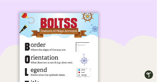
Features of Maps Posters
A set of 2 posters outlining the features of a map.
- Plus Plan
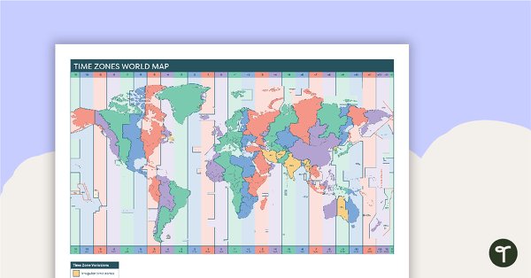
Time Zones World Map
A poster to display in the classroom when locating the different time zones of the world.
- Plus Plan
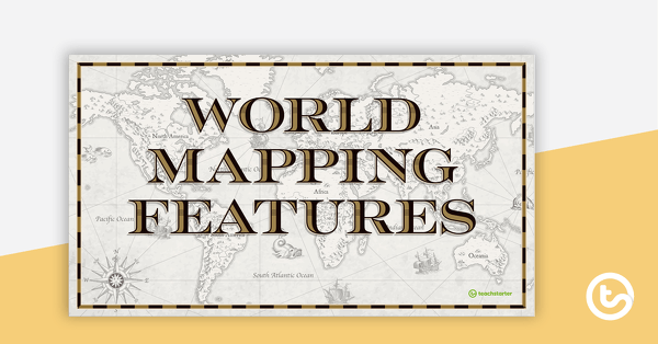
World Mapping Features – Teaching Presentation
An 18 slide PowerPoint presentation to use when teaching students about the main features of the world map.
- Plus Plan
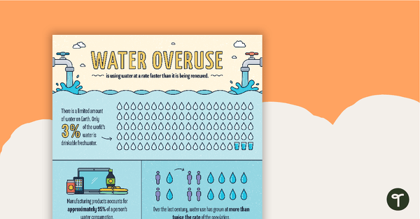
Water Overuse Infographic Poster
An infographic displaying important facts and statistics about water overuse.
- Plus Plan
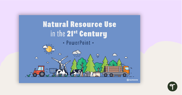
Natural Resource Use in the 21st Century PowerPoint
A 22 slide editable PowerPoint template to use when exploring how natural resources are used by humans in the 21st century.