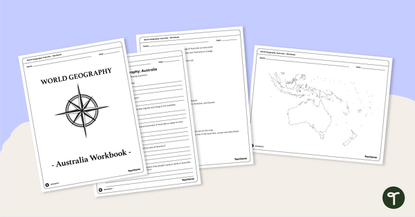
A printable pack of worksheets for students to learn about Australia's geography and complete a labeled map of Australia.
Map of Australia Activity Pack
If you’re a sixth-grade teacher on the hunt for geography lessons, you’re in the right place! We’ve put together a comprehensive and engaging Australian Geography worksheet pack, the perfect resource for sixth-grade teachers looking to bring the geography of Australia to life in their classrooms!
Printable Geography Worksheets for 6th Grade
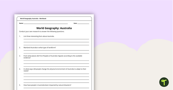
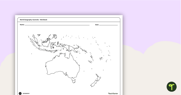
This printable workbook is designed to help students discover the geography of Australia by providing them with a detailed map of the continent and challenging them to locate and draw features such as landforms, landmarks, settlements, and map features.
This geography activity will help your students understand the country’s physical geography and develop important map-reading and analytical skills. It includes questions and mapping exercises specifically designed for students of this age group.
With clear and concise explanations, students will learn about the major geographical features of Australia, including Papua New Guinea, Vanuatu and the Torres Strait. They will also locate
- the Tasman Sea
- Kakadu National Park
- Fraser Island
- Uluru
- and more!
This resource downloads as a print-and-go PDF file, so your Geography lesson plans are complete!
Answers are attached to the workbook.

0 Comments
Write a review to help other teachers and parents like yourself. If you'd like to request a change to this resource, or report an error, select the corresponding tab above.