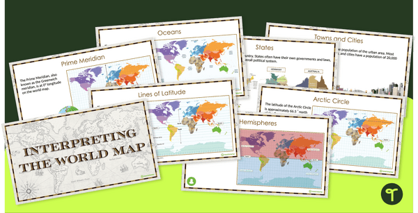
Explore the key map features of world maps with this 18-slide PowerPoint presentation.
Map Features for Upper Elementary Students
Before our students delve too far into the wonderful world of Geography, there are certain key skills they’ll need to have under their belts. One such skill is understanding the purpose, types, and features of maps and globes.
This comprehensive teaching presentation has been designed to help your students learn about some of the common features of maps and globes. Some such features include:
- Lines of latitude
- Equator
- Hemispheres
- Tropics
- Arctic Circle
- Antarctic Circle
- Lines of longitude
- Prime Meridian
- International Date Line
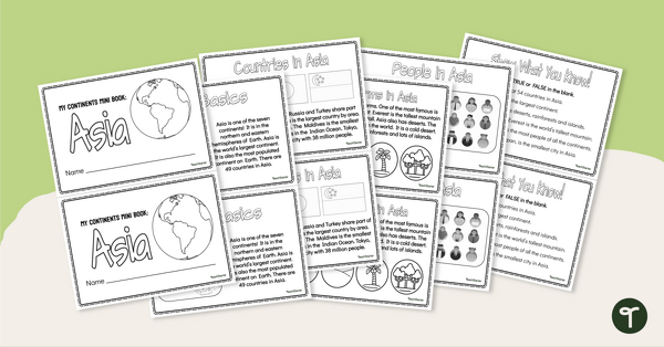
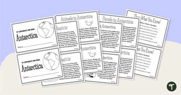
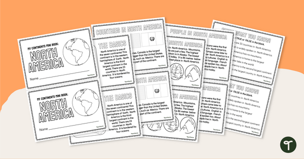
- Continental regions
- Oceans
- Countries
- States
- Towns and Cities
Download Your Digital, No-Print Resource!
Use the Download button to access the Microsoft PowerPoint version of this resource.
Use this resource in conjunction with Interpreting the World Map Worksheet Pack.

0 Comments
Write a review to help other teachers and parents like yourself. If you'd like to request a change to this resource, or report an error, select the corresponding tab above.